Mapping Manchester’s Connectivity
Your device displays five full bars of signal, but the spinning wheel on your Teams call tells a different story. Sound familiar?
Whether sending a message to friends, transferring money to the bank, or collaborating with colleagues on a shared presentation, connectivity enables us to participate in modern digital society. Without safe, reliable connectivity it can become difficult to fully engage with everyday life– complicating access to work, learning and vital services.
Connectivity is also an enabler for digital transformation. For businesses, organisations and entrepreneurs across Manchester, connectivity is the foundation for digital innovation – driving the development of new services and tools based on smart connectivity technologies. Improving Manchester’s connectivity infrastructure could drive not only support economic growth but inspire digital solutions to social and environmental challenges.
Although signal strength in the city is generally good, there can be a significant disconnect between what your device shows and real-world performance. While very few areas in Manchester lack basic coverage, too many people still experience failures in connectivity. A strong signal doesn’t necessarily mean a reliable connection.
Mobile coverage trackers can offer an overview of network coverage across your local area but often fail to reflect the realities of connectivity on the grounds. As most tools map signal and coverage using predictive data, tools can struggle to account for capacity issues, which can fluctuate over time, or interference from the local environment. Mobile networks that perform well on a coverage tracker based on theoretical data often fail to accurately represent real-world performance.
To help us build a true picture of mobile coverage and capacity across Manchester, we commissioned street asset company Inakalum to map connectivity across the entire city region.
Collaborating closely with Biffa, Manchester City Council’s waste disposal partners, Inakalum installed battery-powered sensors capturing the speed of telecommunications operations on the city’s fleet of bin lorries. While refuse vehicles navigated their usual routes, sensors captured insights on real-world network performance across different times of day. By eliminating the need for dedicated survey vehicles and specialist equipment, we could reduce and minimise environmental impact. Over a single month, the fleet captured over 2 million data points on the city’s connectivity landscape – without any interruption to bin collections!
The data enabled us to build a clear picture of Manchester’s connectivity strengths, while identifying several areas in need of further support. Despite good coverage across the city, all four major networks struggle to cope with capacity demands during peak periods. While you’re unlikely to struggle to locate a signal, getting things done online may be a different story! Connectivity gaps and ‘not-spots’ can be found in every region of the city.
At Manchester’s Digital Strategy, we believe that everyone should be able to access and benefit from high-quality, reliable connectivity. Our infrastructure should make it easier to weave new technologies into the fabric of placemaking, helping to improve sustainability, inclusion and everyday quality of life. By mapping mobile signal, we can better understand where connectivity is strongest and where more support is needed, helping us to develop solutions that address inequalities in network access.
Sharing data openly helps us to advocate for open collaboration and embody our commitment to transparency. By making the results of our mobile mapping survey publicly accessible, we hope to make it easier for people in Manchester to make informed decisions about their connectivity choices and open the door for new ideas and solutions.
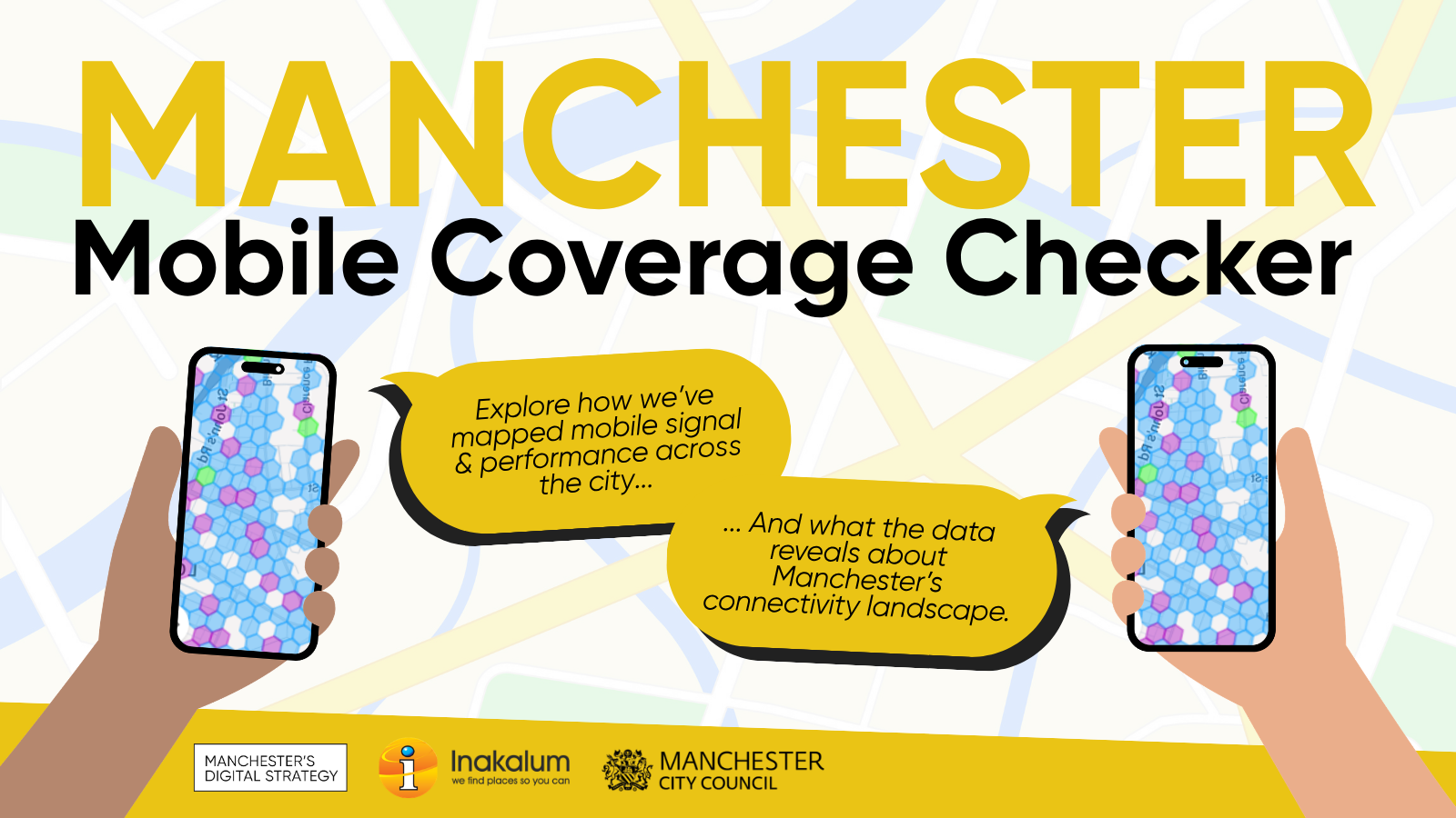
The Manchester Mobile Coverage Checker is a free, interactive resource to help residents, organisations and businesses understand connectivity coverage and capacity in their local area. By entering your postcode, you can check network signal and performance across all four major mobile operators. Whether you’re interested in checking performance for your street or your local area, the Coverage Checker provides a clear, accurate picture of how networks perform in practice.
Going forwards, we hope to use the mapping data to work with network providers to advocate for improvements to infrastructure in areas with poorer connection. By building a reliable evidence base for the city’s connectivity landscape, we want to enable people to make informed decisions about the connectivity services they rely on, and work collaboratively with mobile operators to ensure that our digital infrastructure benefits more businesses and homes in Manchester.
With the right foundations for in place, we can shape a digitally connected future where everyone in our city can access affordable, world-class connectivity.